
-
-
General Background
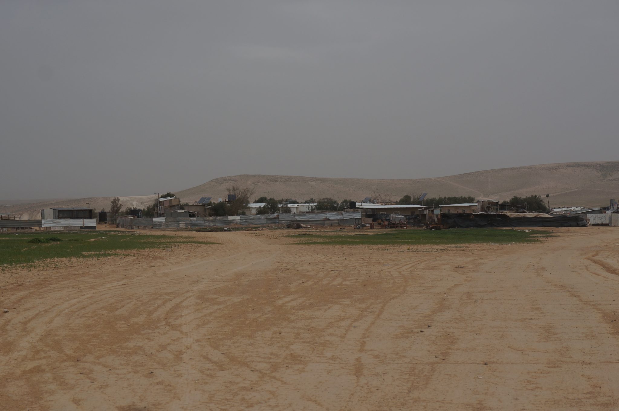
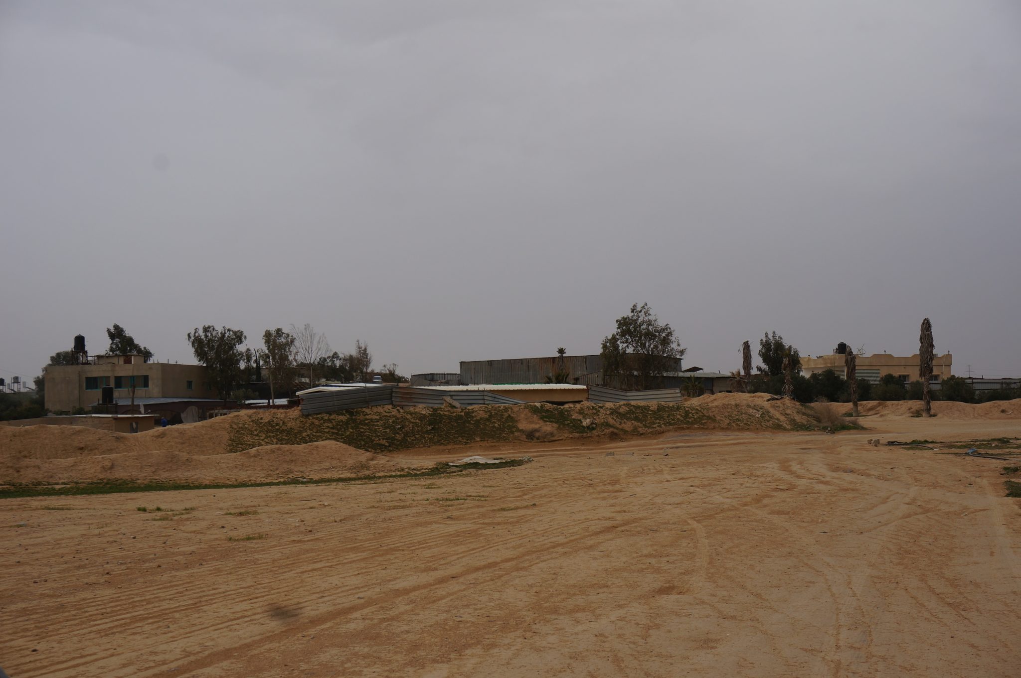
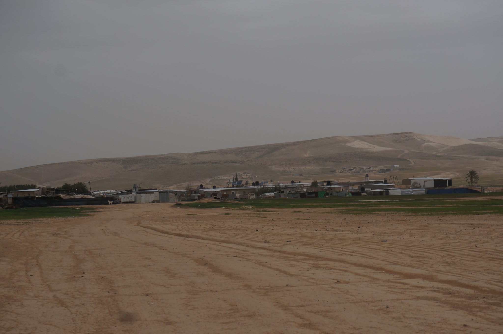
Bīr al-Mšāš is located 16 km east of Be’er Sheva, north of route 25, with 3500 residents. The village is named after the water well Bīr al-Mšāš that is located in the village. There are ancient stone structures (Baika), ancient water well and a cemetery in the village. The residents live in the place prior to the establishment of the state of Israel and claim ownership of their lands.
Services and Infrastructure
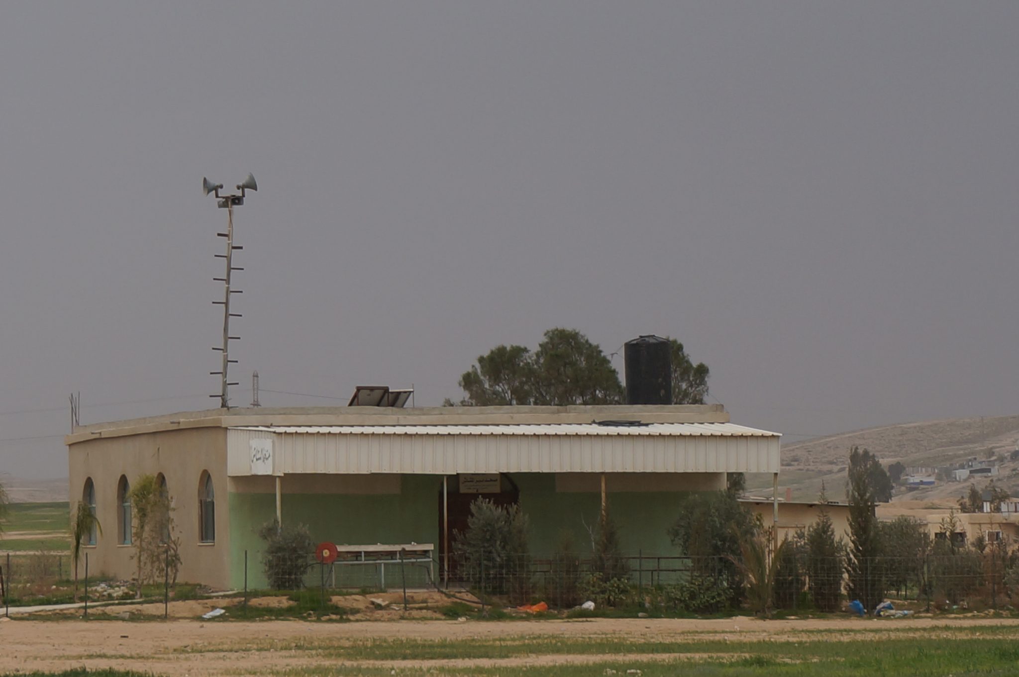
There is a primary and intermediate school in the village while high school children attend school in Abu Tlūl, 4 km distance, or in ʿArʿarah an-Nagab, 10 km from the village. No health services are available in Bīr al-Mšāš and whoever needs these services has to drive to Be’er Sheva – 17 km distance and about half hour drive.
The village has few connections to the main water pipe on route 25. The residents had to install the pipes from the village to the main pipe at their own expense while residents who live far from the road transport their water by water tanks. Since the village is not connected to the national electric grid, the residents use solar panels. There are no paved roads in the village, except the road leading to the local school, all the roads in the village are dirt roads.
Threats
Bīr al-Mšāš is an unrecognized village. According to the Be’er Sheva metropolis plan Bīr al-Mšāš is located in a combined rural and agricultural area which enables granting recognition to the village. As an unrecognized village Bir Bīr al-Mšāš is faced constantly with house demolition orders, actual house demolitions and ploughing of sown fields. Presently a planning team from the authority for the arrangement of settlement of the Negev is examining the possibility of granting recognition to Bīr al-Mšāš. The residents of Bīr al-Mšāš demand to be recognized as an agricultural village in their present location where they have been living for hundreds of years.
*Other forms of writing: Bir al-Mashash, Bir Almashash, Bir Mshash
-
-
-
-
-
 Unrecognized Village
 Recognized Village
 Bedouin Town
-
Threats
-
-
- Cave
- Cemetery
- Cistern
- Other
- Stone house
- Storage Pit
- Well
-